

Colorado Fall Foliage Map 2026
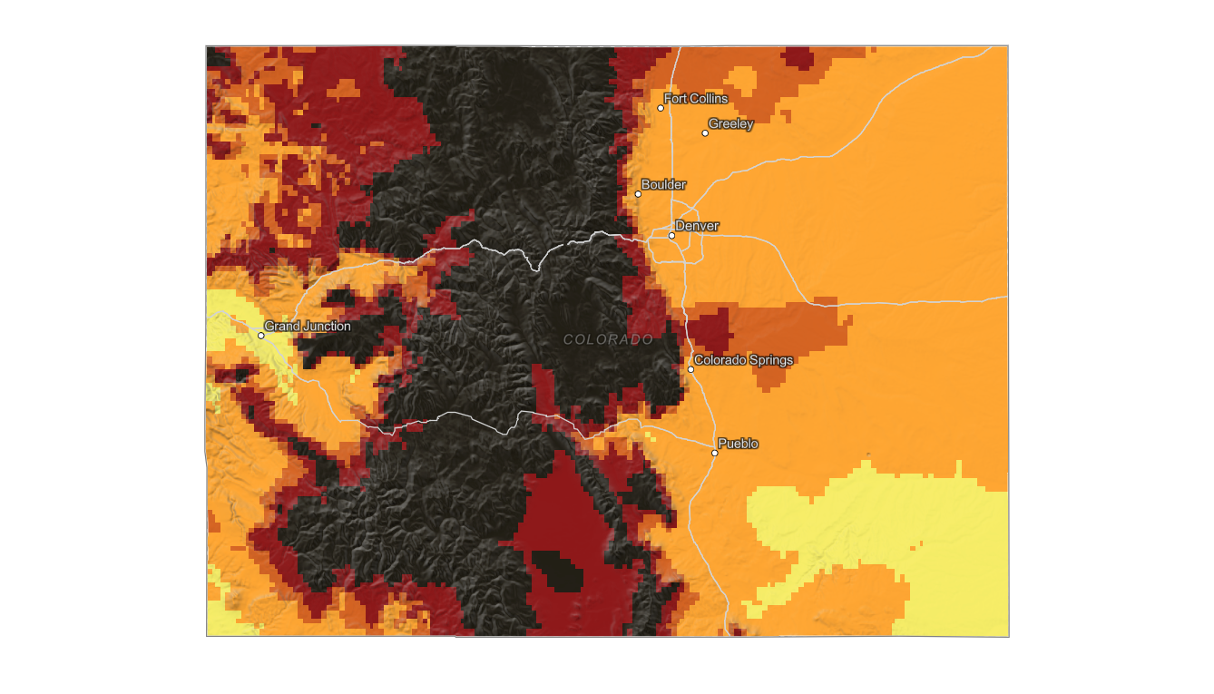
Use the Colorado fall foliage map to track estimated peak color across mountain valleys, high passes, foothills, and lower-elevation cities. Search a place, drag the date slider, and plan where color should be best.
Color Report
Peak Timing
Reports
Download
Little to No Color
Low Color
Moderate Color
High Color
Peak Color
Past Peak Color
Coming Fall 2026

Powered by Esri
Map Tips
- Use the Search Bar to find a Colorado city, park, scenic route, or mountain town.
- Use Color Report for daily foliage stage estimates.
- Use Peak Timing to see when each area should reach peak color.
- Toggle Reports On/Off to see or hide local color reports on the map.
- Click Download to save an image of the current map view.




Colorado Fall Color
Use the Colorado fall foliage map to track estimated peak color across mountain valleys, high passes, foothills, and lower-elevation cities. Colorado foliage is strongly elevation-driven, so a single statewide peak date is not useful for planning an aspen trip.
Aspen color around Telluride, Crested Butte, Aspen, Kebler Pass, Rocky Mountain National Park, Steamboat Springs, and the San Juan Mountains can peak at different times depending on elevation, exposure, and recent weather. Higher passes often turn before nearby towns and river valleys.
Finding Peak Color in Colorado
Aspen color around Telluride, Crested Butte, Aspen, Kebler Pass, Rocky Mountain National Park, Steamboat Springs, and the San Juan Mountains can peak at different times depending on elevation, exposure, and recent weather. Higher passes often turn before nearby towns and river valleys.
Use the map to compare mountain regions, then search a specific pass, town, or park with the fall foliage forecast. In Colorado, moving a short distance uphill or downhill can shift foliage stage from low color to peak or past peak.