

Maine Fall Foliage Map 2026
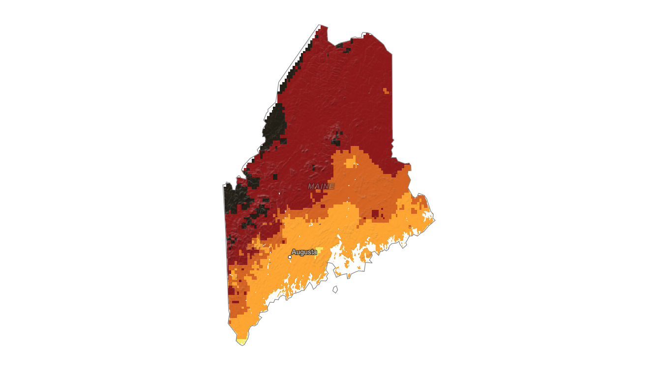
Use the Maine fall foliage map to follow color from the North Woods and western mountains to Acadia, Portland, and the coast. Search a place, drag the date slider, and plan where color should be best.
Color Report
Peak Timing
Reports
Download
Little to No Color
Low Color
Moderate Color
High Color
Peak Color
Past Peak Color
Coming Fall 2026

Powered by Esri
Map Tips
- Use the Search Bar to find a Maine city, park, scenic route, or mountain town.
- Use Color Report for daily foliage stage estimates.
- Use Peak Timing to see when each area should reach peak color.
- Toggle Reports On/Off to see or hide local color reports on the map.
- Click Download to save an image of the current map view.




Maine Fall Color
Use the Maine fall foliage map to follow color from the North Woods and western mountains to Acadia, Portland, and the coast. Maine is a long state with strong north-to-south timing differences, so the best fall color can shift substantially between Aroostook County, Rangeley, Baxter State Park, and coastal towns.
Maine foliage often features bright red maples, golden birches and aspens, and warm oak color in southern and coastal areas. Higher inland terrain near Rangeley, Moosehead Lake, and the western mountains usually changes before lower coastal locations such as Bar Harbor, Camden, and Portland.
Finding Peak Color in Maine
Maine foliage often features bright red maples, golden birches and aspens, and warm oak color in southern and coastal areas. Higher inland terrain near Rangeley, Moosehead Lake, and the western mountains usually changes before lower coastal locations such as Bar Harbor, Camden, and Portland.
Use the map to scout broad color timing, then check the fall foliage forecast for a specific town, park, or trailhead. Coastal moderation, elevation, and local forest type can all affect whether a given Maine destination is still building color, near peak, or already past peak.