

Michigan Fall Foliage Map 2026
Use the Michigan fall foliage map to follow color across the Upper Peninsula, northern Lower Peninsula, west Michigan, and southern hardwood regions. Search a place, drag the date slider, and plan where color should be best.
Color Report
Peak Timing
Reports
Download
Little to No Color
Low Color
Moderate Color
High Color
Peak Color
Past Peak Color
Coming Fall 2026

Powered by Esri
Map Tips
- Use the Search Bar to find a Michigan city, park, scenic route, or mountain town.
- Use Color Report for daily foliage stage estimates.
- Use Peak Timing to see when each area should reach peak color.
- Toggle Reports On/Off to see or hide local color reports on the map.
- Click Download to save an image of the current map view.




Michigan Fall Color
Use the Michigan fall foliage map to follow color across the Upper Peninsula, northern Lower Peninsula, west Michigan, and southern hardwood regions. Great Lakes influence and latitude create major timing differences, so color can peak in the U.P. well before areas near Grand Rapids, Detroit, or Ann Arbor.
Michigan fall color is especially popular around Marquette, Munising, the Keweenaw Peninsula, Petoskey, Traverse City, Sleeping Bear Dunes, and the Tunnel of Trees. Maples, birches, aspens, and oaks create different color mixes from inland forests to lake-effect shoreline areas.
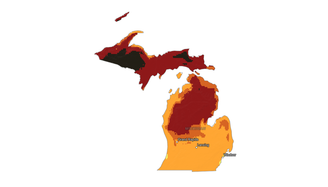
Finding Peak Color in Michigan
Michigan fall color is especially popular around Marquette, Munising, the Keweenaw Peninsula, Petoskey, Traverse City, Sleeping Bear Dunes, and the Tunnel of Trees. Maples, birches, aspens, and oaks create different color mixes from inland forests to lake-effect shoreline areas.
Use this map to compare broad regional timing, then search a specific destination with the fall foliage forecast. Lake moderation can delay color near the Great Lakes, while inland forests may peak earlier and fade faster after wind or rain.