

New York Fall Foliage Map 2026
Track New York fall color estimates, peak timing, and foliage reports from the Adirondacks and Catskills to the Finger Lakes, Hudson Valley, and New York City area.
Color Report
Peak Timing
Reports
Download
Little to No Color
Low Color
Moderate Color
High Color
Peak Color
Past Peak Color
Coming Fall 2026

Powered by Esri
Map Tips
- Use the Search Bar to find a New York city, park, scenic route, or mountain town.
- Use Color Report for daily foliage stage estimates.
- Use Peak Timing to see when each area should reach peak color.
- Toggle Reports On/Off to see or hide local color reports on the map.
- Click Download to save an image of the current map view.




New York Fall Color
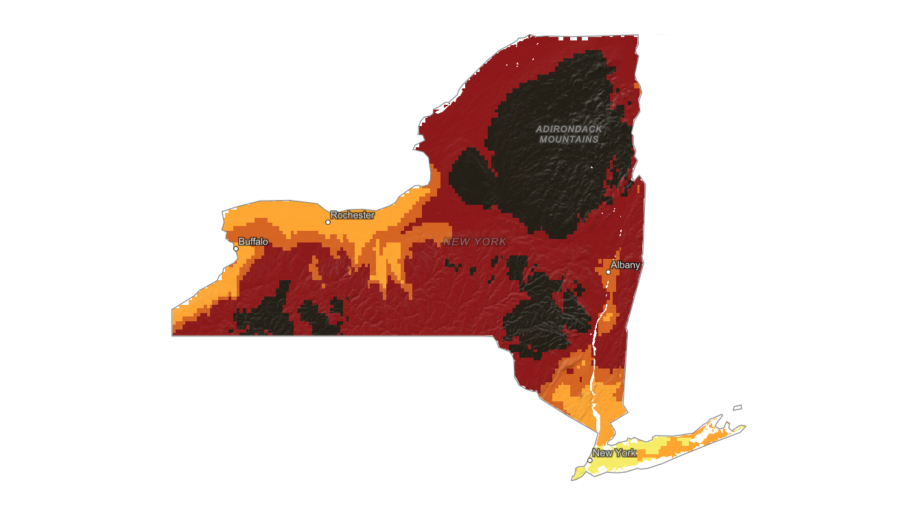
Use the New York fall foliage map to compare estimated color timing across the Adirondacks, Catskills, Finger Lakes, Hudson Valley, western New York, and New York City area.
A state-level search can hide major regional differences, but this map makes it easier to see where fall color is advancing each day.
Finding Peak Color in New York
New York fall foliage can peak early in the Adirondack High Peaks and later in the Hudson Valley, Long Island, and lower-elevation urban areas.
Lake Placid, Lake George, Ithaca, the Catskills, Letchworth State Park, and the lower Hudson Valley often have different best viewing windows in the same season.
Use the interactive map to plan the general region, then search a specific destination with the fall foliage forecast. Elevation, lake influence, and forest composition can shift peak color by many days, especially between mountain towns and nearby valleys.