

North Carolina Fall Foliage Map 2026
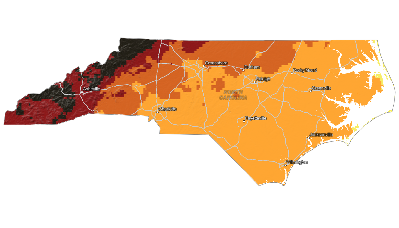
Use the North Carolina fall foliage map to follow color across the Blue Ridge Mountains, Great Smoky Mountains, foothills, Piedmont, and lower elevations farther east. Search a place, drag the date slider, and plan where color should be best.
Color Report
Peak Timing
Reports
Download
Little to No Color
Low Color
Moderate Color
High Color
Peak Color
Past Peak Color
Coming Fall 2026

Powered by Esri
Map Tips
- Use the Search Bar to find a North Carolina city, park, scenic route, or mountain town.
- Use Color Report for daily foliage stage estimates.
- Use Peak Timing to see when each area should reach peak color.
- Toggle Reports On/Off to see or hide local color reports on the map.
- Click Download to save an image of the current map view.




North Carolina Fall Color
Use the North Carolina fall foliage map to follow color across the Blue Ridge Mountains, Great Smoky Mountains, foothills, Piedmont, and lower elevations farther east. Western North Carolina has complex terrain, so fall color timing can vary sharply between ridges, valleys, and nearby towns.
Asheville, Boone, Black Mountain, Grandfather Mountain, the Blue Ridge Parkway, Pisgah National Forest, and Great Smoky Mountains National Park are key North Carolina foliage areas. High elevations usually turn first, while lower valleys and foothills can remain colorful later in the season.
Finding Peak Color in North Carolina
Asheville, Boone, Black Mountain, Grandfather Mountain, the Blue Ridge Parkway, Pisgah National Forest, and Great Smoky Mountains National Park are key North Carolina foliage areas. High elevations usually turn first, while lower valleys and foothills can remain colorful later in the season.
Use this map for regional timing, then search a specific destination with the fall foliage forecast. In the North Carolina mountains, elevation can matter more than distance, so a nearby overlook may look very different from downtown or a lower trailhead.