

Tennessee Fall Foliage Map 2026
Use the Tennessee fall foliage map to compare estimated color timing across the Great Smoky Mountains, Cumberland Plateau, Highland Rim, and lower valleys. Search a place, drag the date slider, and plan where color should be best.
Color Report
Peak Timing
Reports
Download
Little to No Color
Low Color
Moderate Color
High Color
Peak Color
Past Peak Color
Coming Fall 2026

Powered by Esri
Map Tips
- Use the Search Bar to find a Tennessee city, park, scenic route, or mountain town.
- Use Color Report for daily foliage stage estimates.
- Use Peak Timing to see when each area should reach peak color.
- Toggle Reports On/Off to see or hide local color reports on the map.
- Click Download to save an image of the current map view.




Tennessee Fall Color
Use the Tennessee fall foliage map to compare estimated color timing across the Great Smoky Mountains, Cumberland Plateau, Highland Rim, and lower valleys. East Tennessee often changes before middle and western parts of the state, especially in higher mountain terrain.
Gatlinburg, Townsend, Cades Cove, Great Smoky Mountains National Park, Fall Creek Falls, Chattanooga, and the Natchez Trace area can each have distinct foliage timing. Oaks, hickories, maples, sweetgums, and tulip poplars create a long season that often shifts from high elevations to lower valleys.
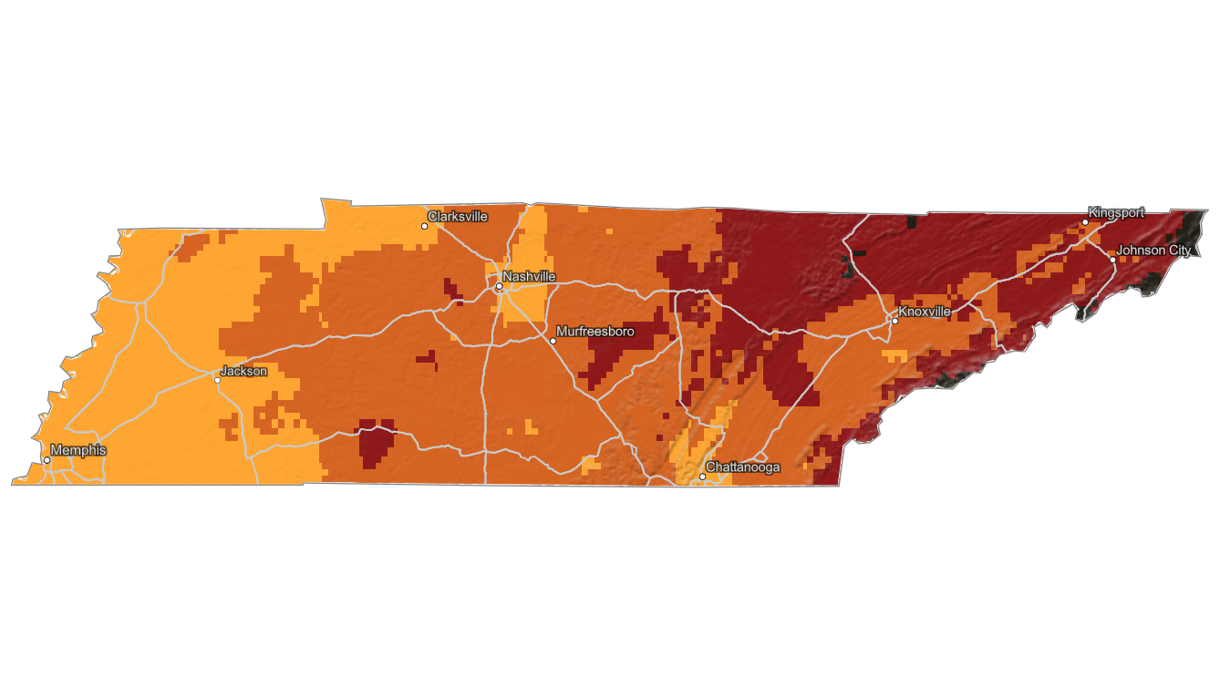
Finding Peak Color in Tennessee
Gatlinburg, Townsend, Cades Cove, Great Smoky Mountains National Park, Fall Creek Falls, Chattanooga, and the Natchez Trace area can each have distinct foliage timing. Oaks, hickories, maples, sweetgums, and tulip poplars create a long season that often shifts from high elevations to lower valleys.
Use the map to choose the right region, then check a specific town, trailhead, or scenic drive with the fall foliage forecast. Tennessee fall color can remain good after mountain peaks fade if you move to lower elevations or plateau forests.