

Wisconsin Fall Foliage Map 2026
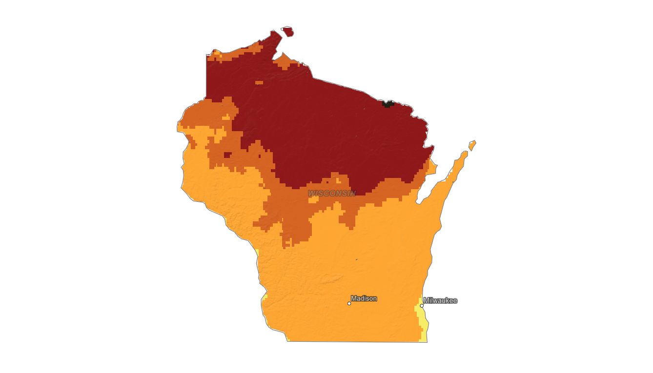
Use the Wisconsin fall foliage map to track color from the Northwoods and Lake Superior shore to Door County, the Driftless Area, and southern Wisconsin. Search a place, drag the date slider, and plan where color should be best.
Color Report
Peak Timing
Reports
Download
Little to No Color
Low Color
Moderate Color
High Color
Peak Color
Past Peak Color
Coming Fall 2026

Powered by Esri
Map Tips
- Use the Search Bar to find a Wisconsin city, park, scenic route, or mountain town.
- Use Color Report for daily foliage stage estimates.
- Use Peak Timing to see when each area should reach peak color.
- Toggle Reports On/Off to see or hide local color reports on the map.
- Click Download to save an image of the current map view.




Wisconsin Fall Color
Use the Wisconsin fall foliage map to track color from the Northwoods and Lake Superior shore to Door County, the Driftless Area, and southern Wisconsin. Latitude, lake influence, and rolling terrain can create large differences between northern forests and cities like Madison or Milwaukee.
Popular Wisconsin foliage areas include Bayfield, Ashland, Minocqua, Eagle River, Door County, Devil's Lake, and the Mississippi River bluffs. Maples and aspens often drive bright early color in the north, while oaks and mixed hardwoods can extend the season farther south.
Finding Peak Color in Wisconsin
Popular Wisconsin foliage areas include Bayfield, Ashland, Minocqua, Eagle River, Door County, Devil's Lake, and the Mississippi River bluffs. Maples and aspens often drive bright early color in the north, while oaks and mixed hardwoods can extend the season farther south.
Use the map to compare statewide timing, then search a specific town, park, or scenic drive with the fall foliage forecast. Wisconsin color can change quickly after a windy front, so checking local timing close to your trip is especially useful.